
How to view traffic, transit and satellite imagery in Maps on iPhone and iPad
- apr
- 28
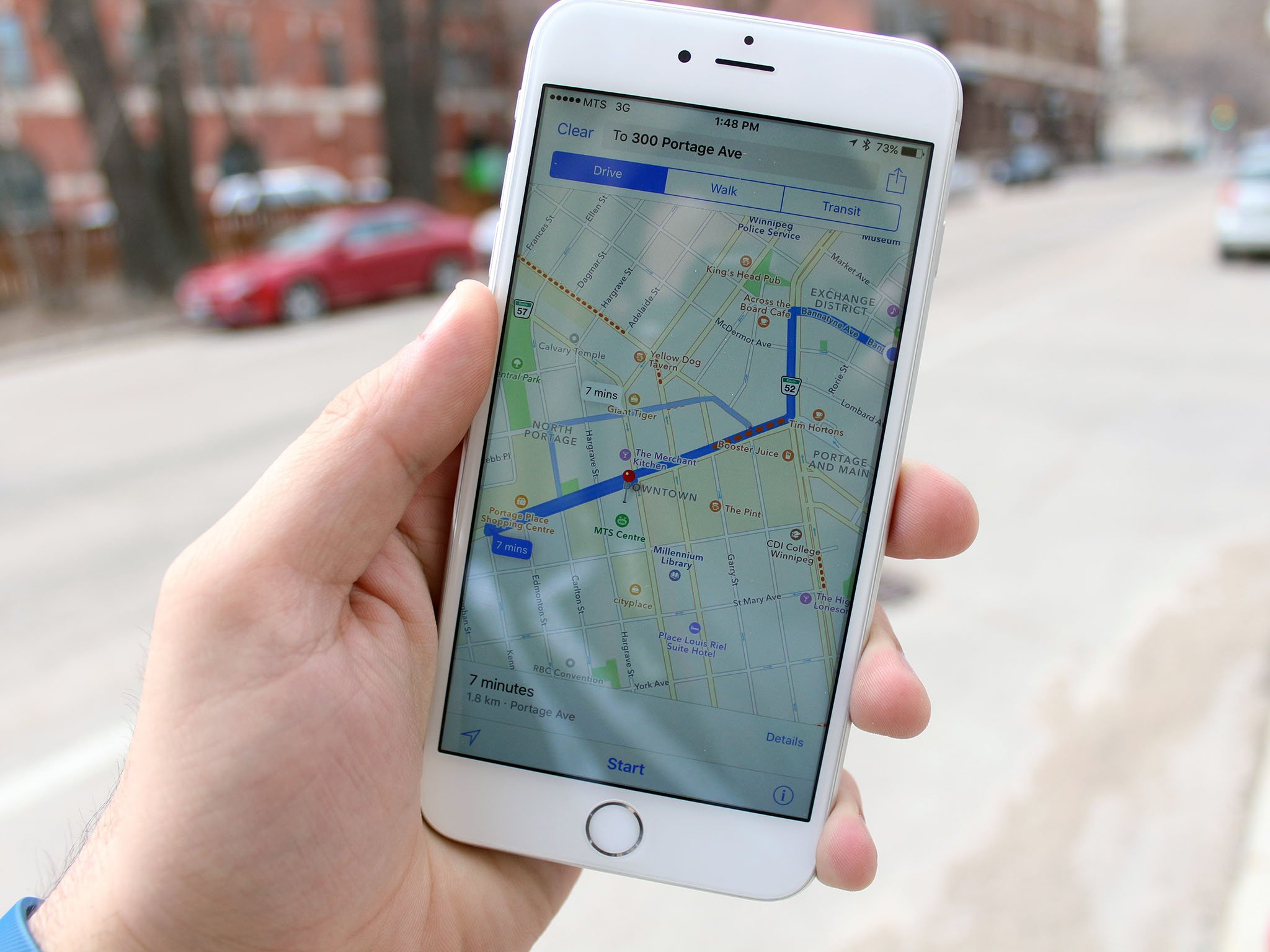
View up-to-the-minute traffic and transit information, or get a bird's-eye view of your city, all with Apple Maps.
Whether you prefer your maps cleanly drawn or satellite photographed, if you want to see live traffic on the streets or soar above the buildings, Apple Maps has you covered.
- How to change from Map to Transit or Satellite view in Maps on iPhone and iPad
- Show traffic information
- How to show transit view in Map on iPhone and iPad
- Satellite view and 3D maps
How to change from Map to Transit or Satellite view in Maps on iPhone and iPad
You can see the area around you in several ways, including cleanly drawn Maps, helpful Transit (in areas where it's available), and detailed Satellite views.
- Launch Maps from the Home screen.
- Tap the Info button in the bottom right corner. It's the blue "i" in a circle.
- You'll see three options along the top of the menu: Map, Transit, and Satellite.
![]()
How to show traffic information in Maps on iPhone and iPad
If you're planning your daily commute and want to avoid slow-moving traffic, you can use Maps to show you real-time traffic conditions on major routes around the city.
- Launch Maps from your Home screen.
- Tap the Info button in the bottom right corner. It's the blue "i" in a circle.
- Confirm that Map is selected and tap Show Traffic.
You'll now see important traffic conditions marked on the map — orange and red lines represent moderate and heavy traffic, respectively. It also includes markers detailing what's causing the slowdown — from construction to road closures to major accidents. Tap those icons for more details.

How to use transit view in Maps on iPhone and iPad
If you rely on public transit to get around the city, you'll want your map to show you when the next bus or train arrives to ensure you arrive at your destination on time.
- Launch the Maps app from your Home screen.
- Tap the Info button in the bottom right corner. It's the blue "i" in a circle.
- Tap Transit. Zoomed out, you'll see your city's subway lines on the map, color-coded with dots representing stations.
- Pinch out to zoom in to see more public transit-related details, including bus stops, and to see more details related to subway lines.
You can tap on any bus stop or subway station to get real-time service advisories, arrivals and departure times, as well as popular apps for nearby business and services.
![]()
Transit view is only available in a few cities, and, of course, not all cities have subway systems.
How to use satellite view in Maps on iPhone and iPad
- Launch Maps from your Home screen.
- Tap Satellite. Zoomed out, you'll see the major roads and highways labelled, as well as some popular destinations marked on the satellite imagery.
- Pinch out to zoom in to see fine details at a street level, including trees, buildings and parks.

How to use the 3D Map in Maps on iPhone and iPad
One of the coolest features in Maps is Fly Over. Available for dozens of major metropolitan centers around the world, it allows you to view buildings landmarks and even trees in 3D.
- Launch Maps from your Home screen.
- Tap the Info button in the bottom right corner. It's the blue "i" in a circle.
- Tap 3D Map to turn on the 3D effect.
- Pinch out to zoom in, and use two fingers to rotate and change your perspective and navigate around the map to see how the 3D effect works.

It's surprisingly detailed and probably more fun to just play around with than practical. But, if you're planning a trip to one of the cities that supports 3D buildings navigation, it could certainly help to familiarize yourself with the sights and scale of the spaces you plan on visiting.